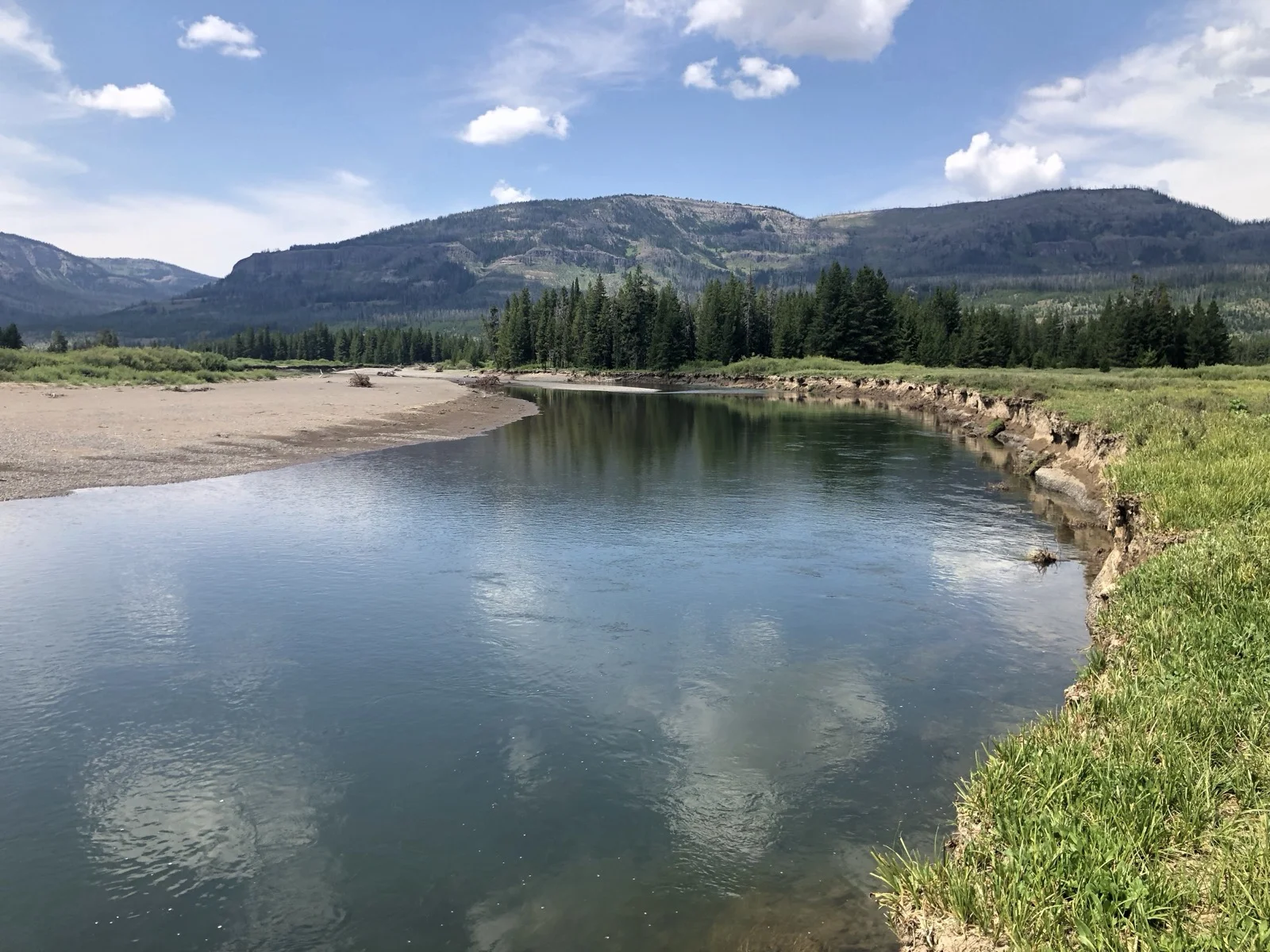
The Thorofare region is the most remote and least visited area of Yellowstone National Park. Parts of it are more than 30 miles from the nearest road. The region begins at the southeast arm of Yellowstone Lake and follows the Yellowstone River into Bridger-Teton National Forest, surrounded by the Teton and Absaroka mountain ranges.
It’s remote enough that you won’t see people. It’s wild enough that you’ll see grizzlies. And it’s beautiful enough that you’ll want to come back immediately after you leave.
Trip Summary
Trailhead: Nine Mile Trail
Distance: 68 miles
Elevation Gain: 2,220 feet
Difficulty: Moderate (only because of distance)
Duration: 7 days
Best Season: Early August through September (before snow, after peak summer crowds)
Getting There
Logistics matter. The closest airports—Cody, West Yellowstone, Jackson Hole—are expensive with limited flight options and almost always require connections. I’ve done all my Yellowstone trips out of Salt Lake City. It’s a long drive, but the flights are cheaper and direct.
You’ll need a rental car and the patience to accept that Wyoming doesn’t make this easy. Plan for it.
What You Actually Need
Backcountry permit: Go through Recreation.gov. Don’t let the lottery language intimidate you. Permits to this section of Yellowstone are accessible if you’re flexible. The campsites closest to Yellowstone Lake fill up, but if you can hike 9 flat miles on day one to campsite 5E6 (Columbine Meadow), you’ll get a spot.
Your permit is tied to a specific campsite each night. This is different from a trailhead permit where dispersed camping is allowed. Grizzlies mean you camp in established sites only. Each has a food prep area and bear canister hanging spot.
Bear spray: Required. Rent at Canyon Village or Old Faithful if you don’t have your own. Read the manual before you hit the trail.
Bear canister: Required. Must be Interagency Grizzly Bear Committee approved. All food, garbage, toothpaste, sunscreen—everything goes in. Rent from the backcountry ranger office when you pick up your permit.
Ranger stations to pick up your permit:
- Albright Visitor Center (basement)
- Tower Ranger Station
- Canyon Visitor Education Center
- Bridge Bay Ranger Station
- Grant Village Visitor Center
- Snake River Ranger Station
- Bechler Ranger Station
- Old Faithful Ranger Station
- West Yellowstone Visitor Information Center
Go in person. Check trail conditions and river crossing levels while you’re there. Ask about recent bear activity.
Day 1: Nine Mile Trailhead to Campsite 5E4
The trail starts through a burn section from the 1988 fires. It’s sobering and redundant at first—charred trees, exposed ground, the raw cost of wildfire. But the trail hugs Yellowstone Lake, and the views make up for it. The lake dominates to your right for the first 4.3 miles until lodgepole pines return and the landscape softens.
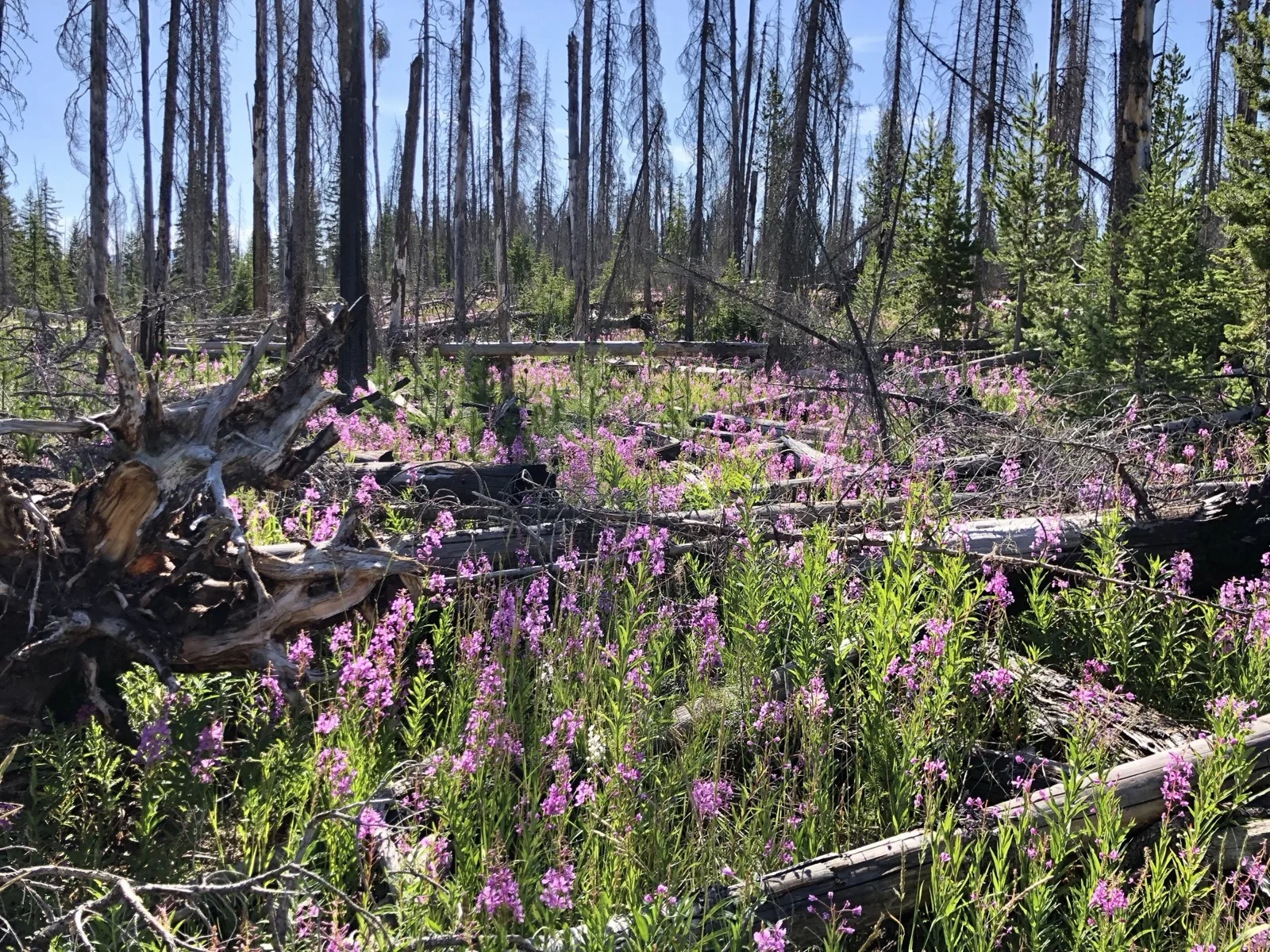
You’ll pass campsite 5H1 near the trailhead. It’s popular and visible. Skip it.
Campsite 5E9 is beachside quality. Stop for lunch. The beach is all rocks, not sand, but it’s open. You can dip in to cool off on warm days. The ripples in the small waves create sound that makes you forget you’re in a national park.
My first night was at campsite 5E4, also on the lake. I set up just as a thunderstorm rolled in. Watching lightning flash over water from your tent is the kind of thing you don’t forget.
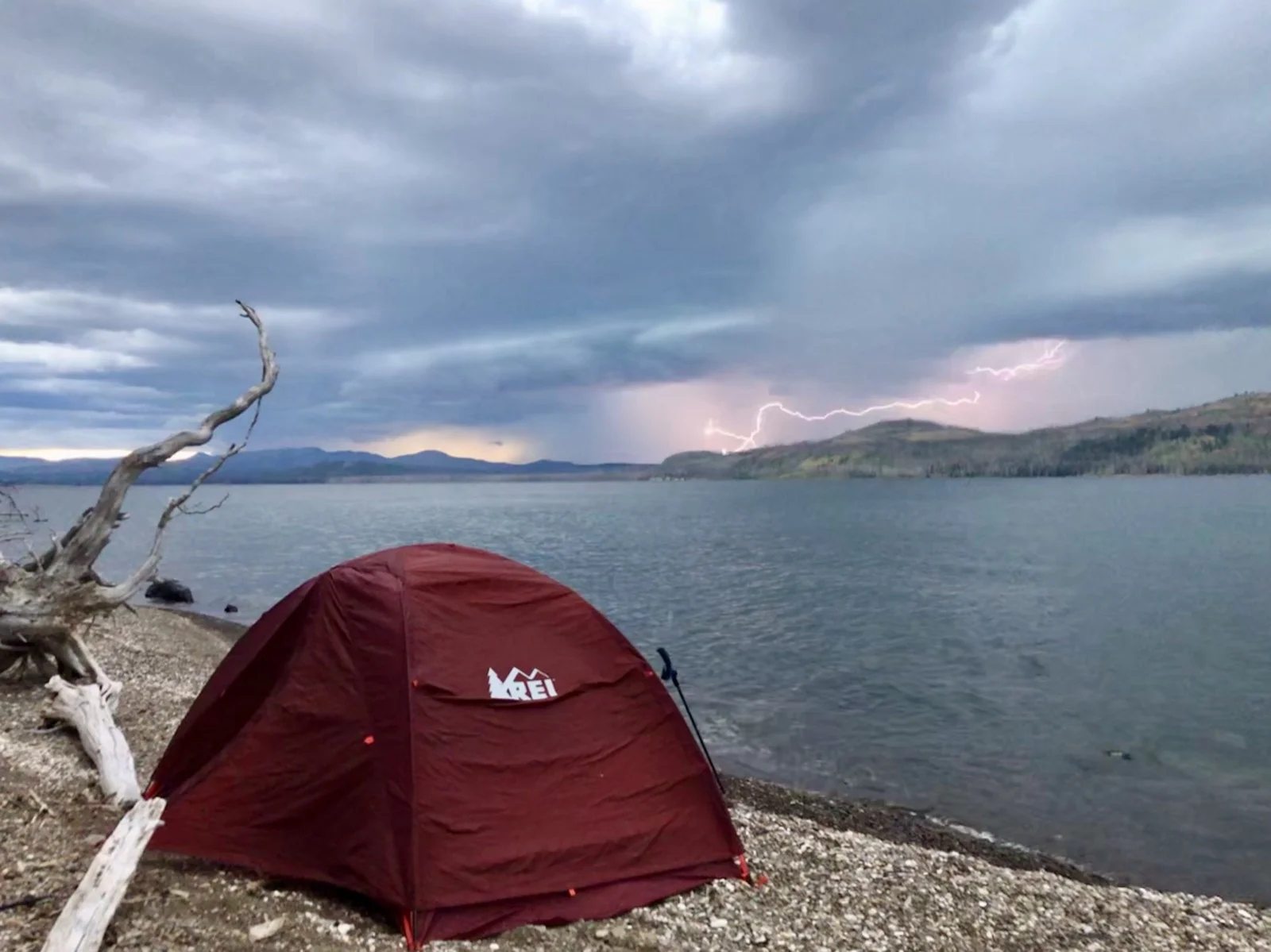
The best part about this stretch: it’s flat. Pack weight isn’t the problem it becomes at higher elevations.
Day 2–3: Yellowstone Lake to the Thorofare Ranger Station
As you push south, Yellowstone Lake gives way to shallower arms and finally the southeast arm where the Yellowstone River feeds the lake. The trail rises above the water and gives you views that highlight the Grand Tetons in the background.
The confluence of the lake and river is extraordinary. You can see into the Thorofare and sense what’s coming next. This section is surprisingly dry. Water is scarce until Beaverdam Creek near campsite 5E1. Fill up there.
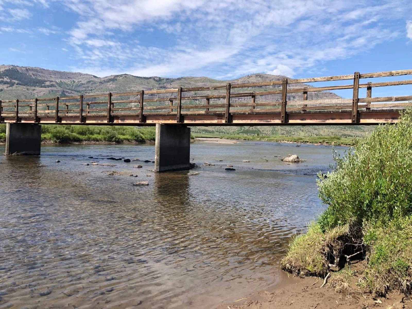
After Beaverdam Creek, the remote part begins. The next 16 miles are some of the finest hiking in any national park. Meadow after meadow. The upper Yellowstone River snaking west while forest and mountains sit to your east.
I saw two law enforcement rangers on horseback—the only humans in three days. They’d just finished testing river crossing levels. In early August, the water was at the horses’ bellies. That would matter if you wanted to cross to the South Boundary Trail. They were heading out after eight days in the field.
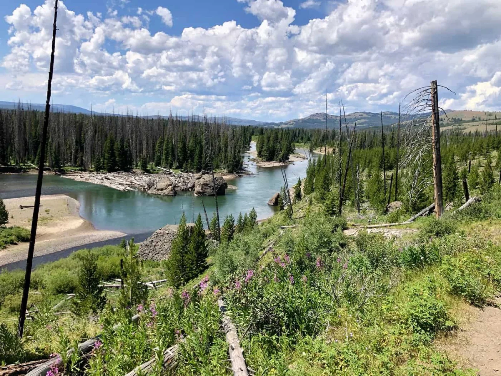
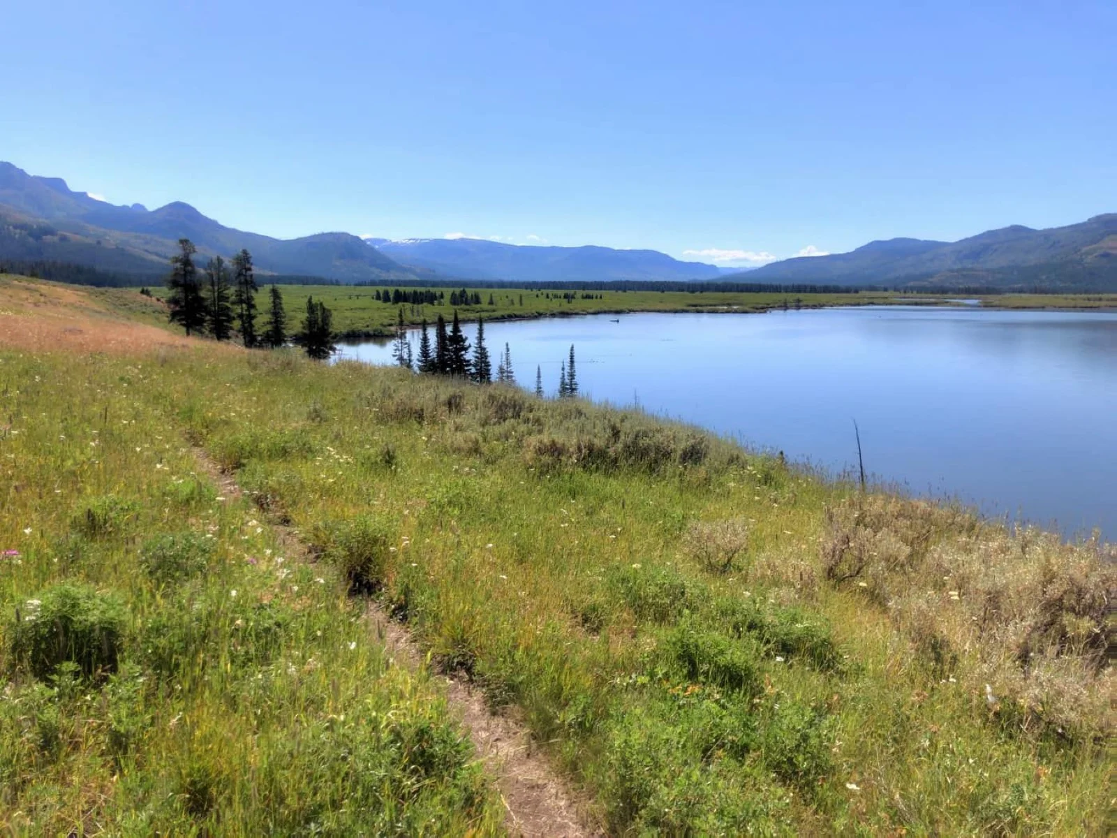
What’s notable about this section: no big wildlife. No elk, moose, or signs of grizzlies. We looked for wolf tracks (found them) and grizzly scat (saw it closer to the park boundary). Birds were different—varieties of egrets and cranes that made prehistoric sounds like something from the Jurassic.
The trail is easy to follow. General direction: valley, river west, mountains east. You just keep moving.
The Thorofare Ranger Station appears as you approach the park boundary. It’s a log cabin built in 1920 by the Forest Service as a base for rangers patrolling the surrounding wilderness. It was mostly rebuilt after a fire in 1937, but charred logs in the attic are still visible as a reminder of nearly 100 years ago.
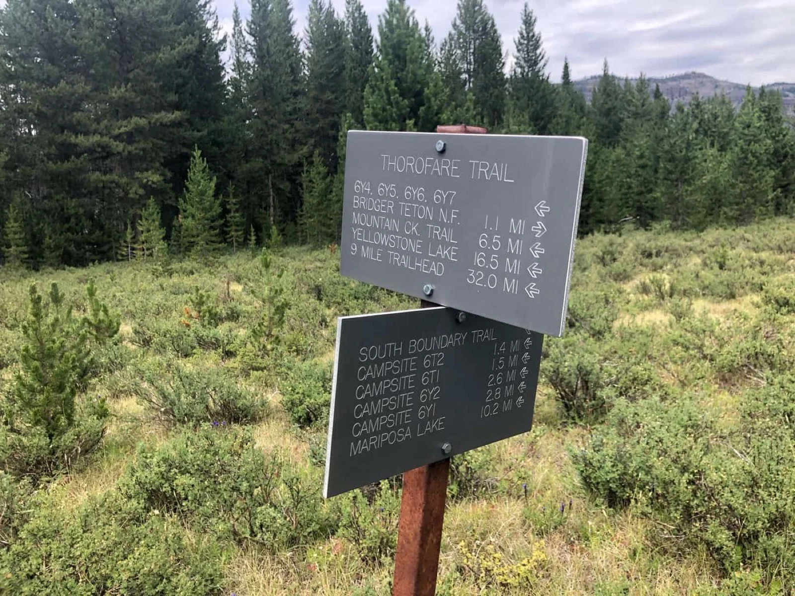
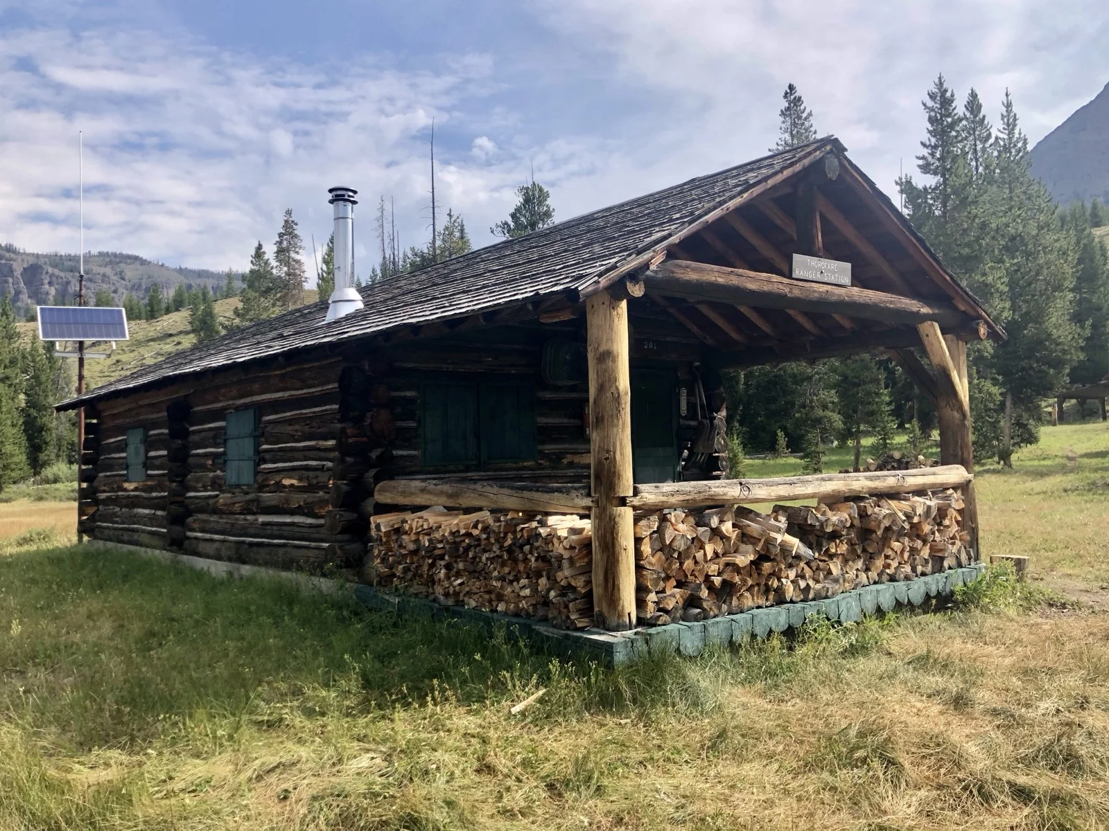
Rangers from that cabin have protected these lands from logging and mining for over a century. Now they monitor hunting pressure from the Wyoming side where elk hunting is over-the-counter and prolific. The elk here are big.
This cabin is the most remote building in the lower 48 by one definition: it’s more than 30 miles from the nearest road in any direction.
The cabin is unlocked when rangers aren’t present. The interior is a time capsule. The best artifact is the ranger logbook. Daily entries from rangers patrolling the area give you a sense of the work required. Once a book is full, the original is stored for safekeeping and a copy replaces it. The cabin had copies dating back to at least the 1950s. I could have spent hours reading those journals.
Outside are an outhouse, stable, and barn. The logbooks show how much upkeep this place requires.
Day 4: Crossing into Bridger-Teton, Bridger Lake
After leaving the ranger station, the trail takes you into Bridger-Teton National Forest and toward Bridger Lake. To get there, you cross Thorofare Creek, a tributary of the Yellowstone River. The headwaters of each river form roughly 20 miles away on opposite sides of Thorofare Mountain.
The creek crossing is wide and fast. Water rises above your knees. It’s the last landmark in Yellowstone.
I camped two nights at Bridger Lake on the north shore. The lake is massive and secluded. If the Thorofare Ranger Station is the most remote building, Bridger Lake might be the most remote lake. A pair of trumpeter swans patrolled the water for two straight days. Of all the swans in the world, this pair has the best real estate.
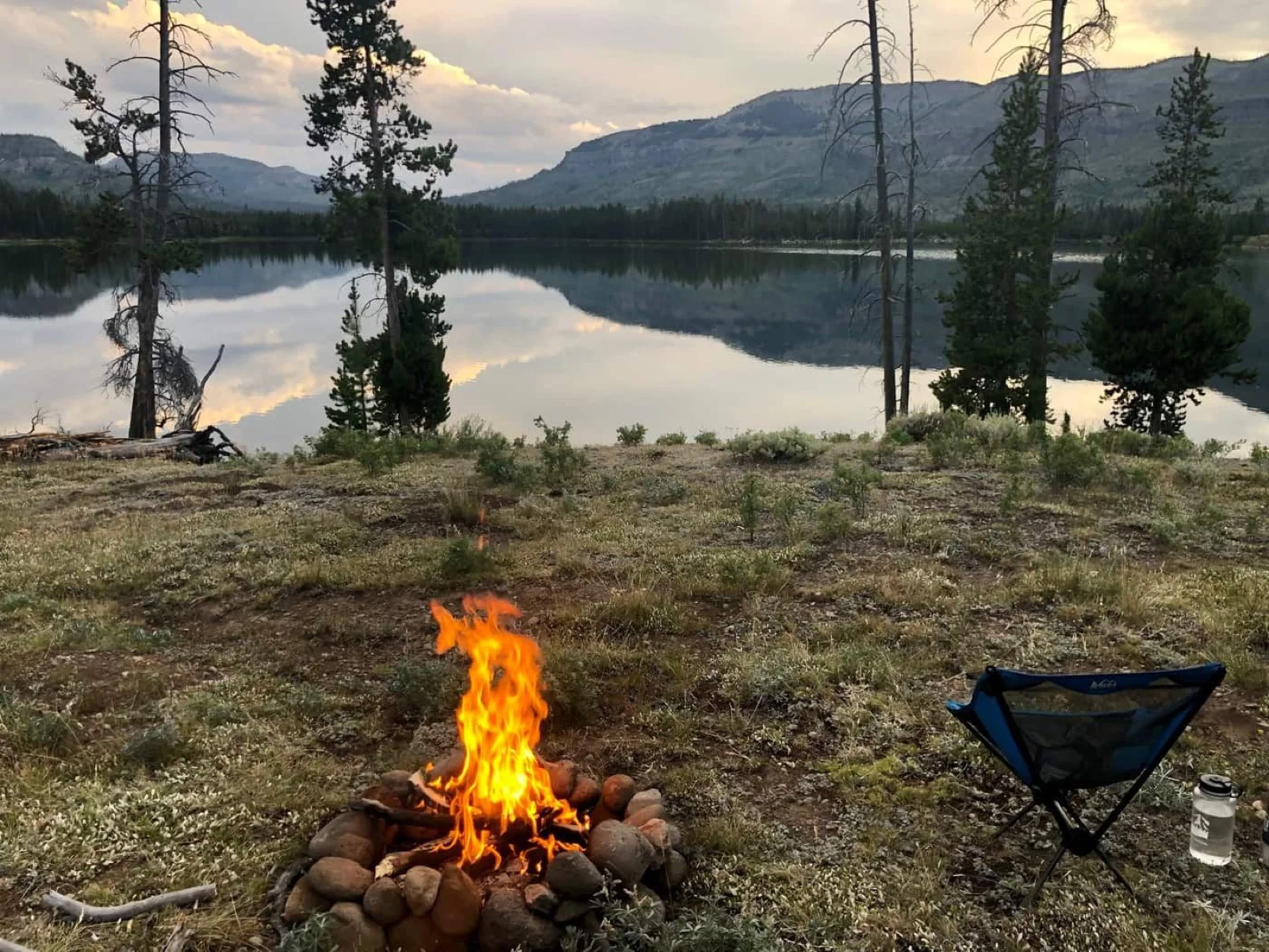
Hawks Rest is the most common outfitter camp. The western shore is too swampy. The eastern edge is hilly. The best spots are scattered along the north shore and south side. We took a day hike around the lake into Hawks Rest where a patrol cabin and footbridge cross the Yellowstone River toward Two Ocean Plateau. That’s a trip for another time.
The Return
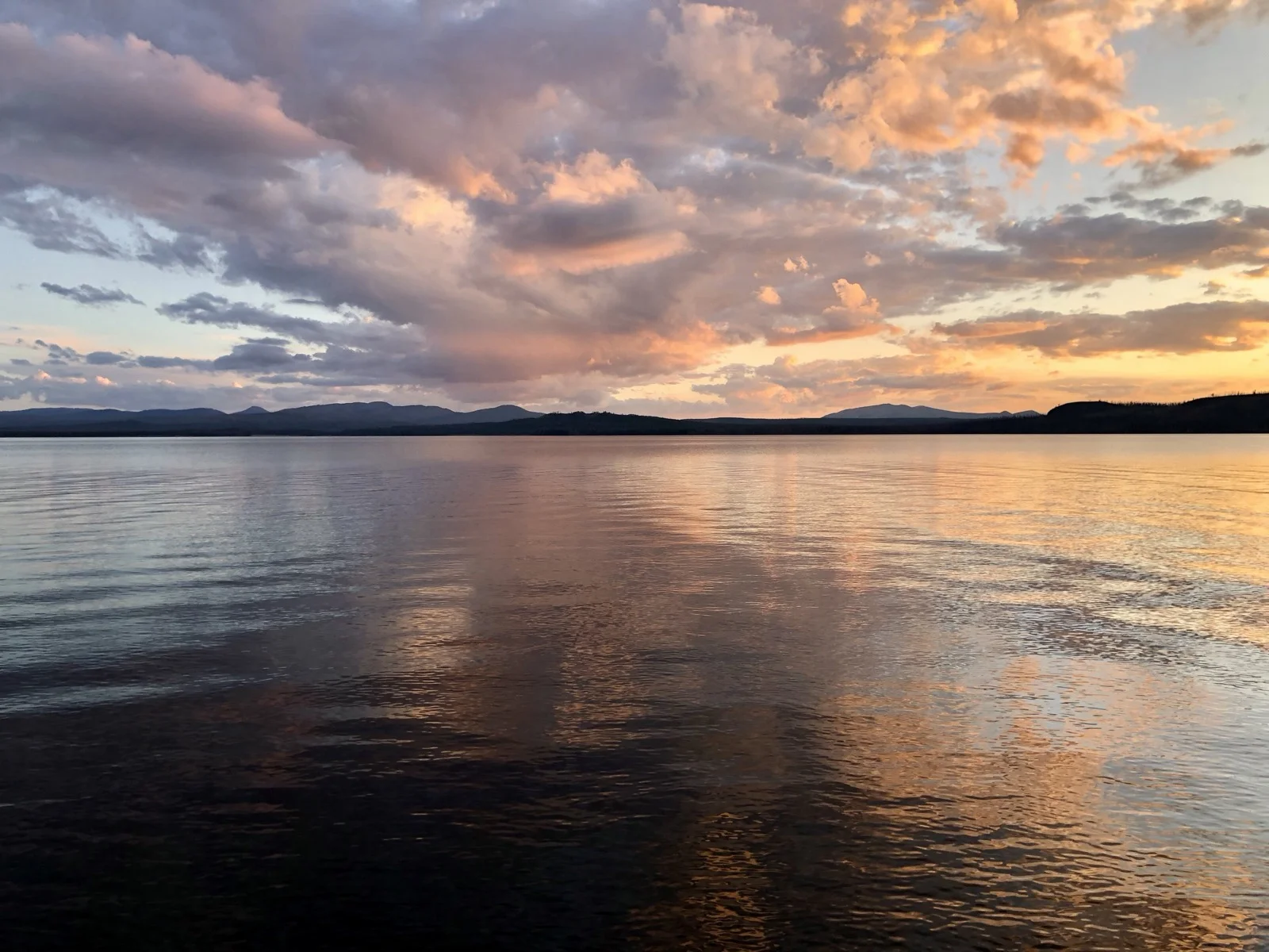
On the way back, camping along Yellowstone Lake as the sun drops toward the Absaroka Range, the light turns golden. These are the moments that make the distance worth it.
Grizzly Bears
You’ll likely see evidence of grizzlies in the Thorofare. South of the park boundary, you should expect them.
If you encounter one:
- Stay calm. Sudden movements startle bears. Speak in a low tone.
- Stand tall, wave your arms, make noise. “Hey bear” works.
- Never approach. If the bear doesn’t know you’re there, back away slowly and avoid eye contact.
- Carry and use bear spray. Learn how before you go.
- Make noise while hiking to avoid surprise encounters. Bear bells are ineffective.
The Loadout
- Bear canister
- Bear spray
- Lightweight tent (4-season if going past September)
- Sleeping bag rated for cold nights (Thorofare can drop to freezing even in August)
- Water filter or purification
- Trekking poles (creek crossings and flat hiking)
- Insulating layers (afternoons are warm; mornings and nights are cold)
- Headlamp
- First aid kit
- Map and compass
- Backcountry permit
Alternate Routes to Thorofare
South Boundary Trail: Starts at the south entrance, follows the Snake River for 29 miles until it intersects the Thorofare Trail north of the ranger station. A one-way hike is possible from Nine Mile to South Boundary if you arrange logistics.
Turpin Meadow: In Bridger National Forest. Follow North Buffalo Fork Trail to the Continental Divide Trail, which becomes Trail Creek Trail. Continue to Two Ocean and Hawks Rest.
Deer Creek: Approach from the east on Deer Creek Trail, ascend Deer Creek Pass, transition to Butte Creek Trail, intersect with Thorofare River Trail. Extremely remote.
Eagle Creek & Eagle Pass: Starts outside the park boundary, enters at the eastern edge near Eagle Mountain. Several camping sites require permits.
Boat Shuttle: Cut the first 10–15 miles by taking a boat shuttle from Bridge Bay Marina down Yellowstone Lake. Contact them for details.
Why This Hike Matters
This is a hike you’ll want to do again immediately after you finish. The Thorofare isn’t a summit. It’s not a famous photo. It’s distance, solitude, grizzly bears, and a 103-year-old ranger station that proves humans can live lightly in wild places.
Go early August through September. Check ranger station reports. Fill water where you’re told. Respect the bears. And accept that for three days, you’ll be the most remote person in the lower 48.
Trip Report Verified
WildernessBeta Permit Intelligence
Last updated: August 4, 2019